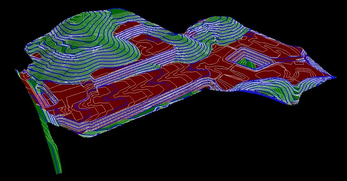
Recent Projects
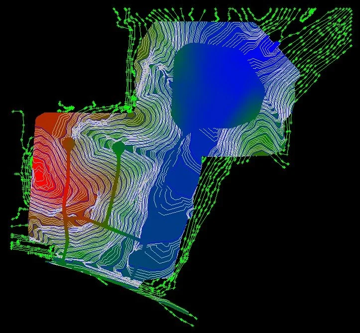
175 unit, 80-acre subdivision in eastern Tennessee. Completed May 2026.
Takeoff was done in two phases reflecting site plan. Report resulted in 400k cubic yards of cut and 430k cubic yards of fill. Client also requested asphalt and concrete quantities for site.
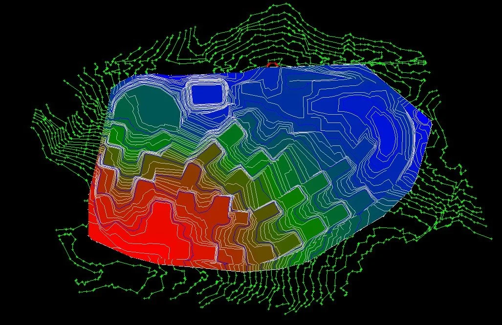
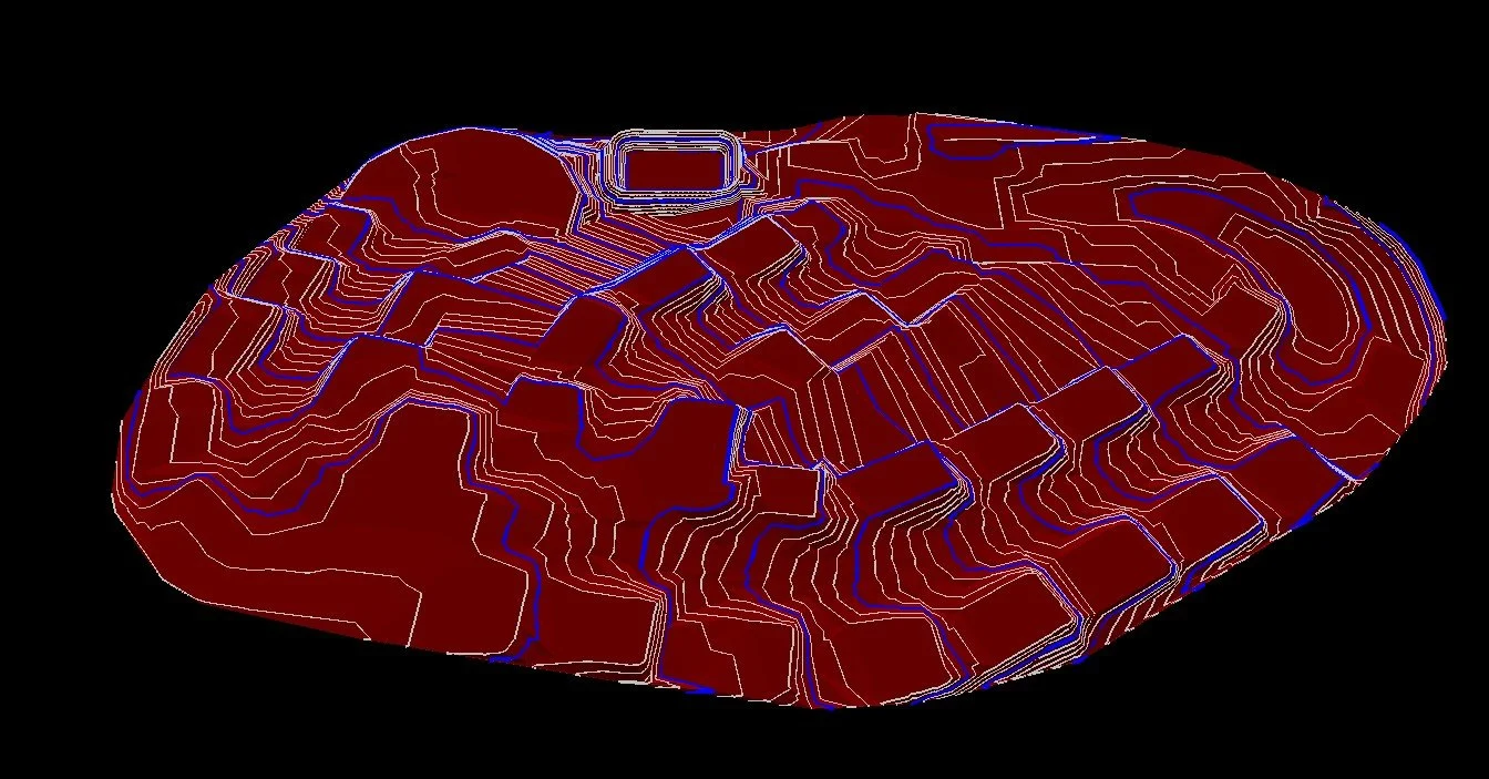
94 unit, 21 acre subdivision in eastern Tennessee. Completed July 2026.
Two-phase project resulting in 40k cut and 50k fill. Client worked with general contractor to include an on-site stockpile to minimize import.
Request a Project Consultation
Please complete the inquiry form to facilitate a comprehensive discussion on how our civil engineering expertise can optimize and implement reliable infrastructure solutions tailored to your project objectives.